Sunday, February 27, 2011

El despliegue de las tropas - Troops deployment

English text at the bottom

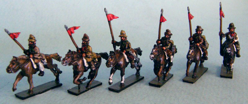
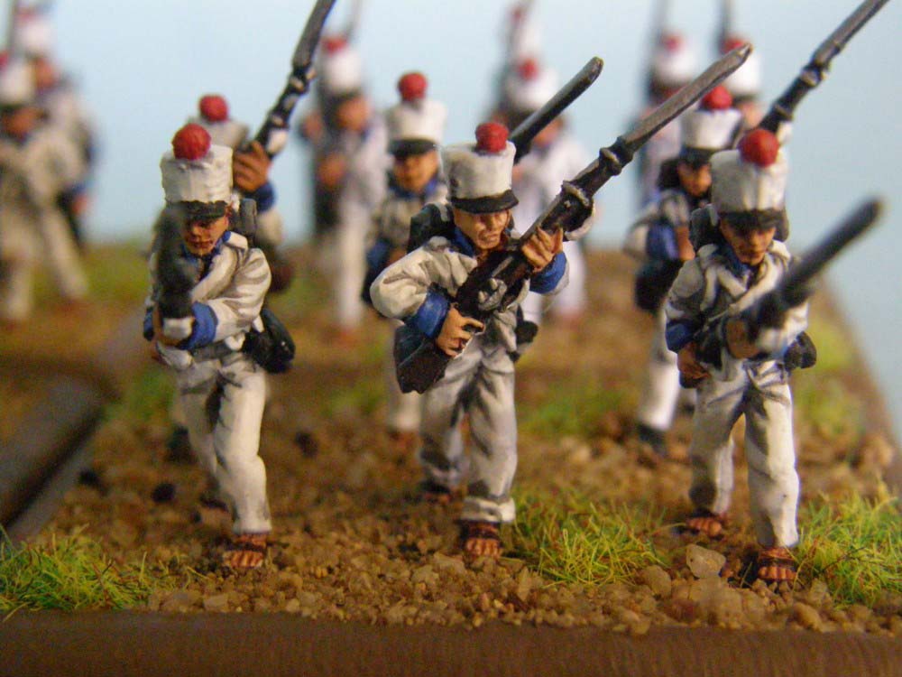
Una vez definido el terreno el próximo paso qe vamos a realizar es el de posicionar las tropas que participaron en la batalla.

Para ello tratamos de estimar las dimesiones reales que utilizara cada unidad de combate en el campo de batalla, considerando para ello una distancia de 70 cm por hombre. Así calculamos el ancho de la linea de combate que puede haber ocupada cada unidad. Respecto a la profundidad de la línea usamos una dimension un poco mayor por el mero hecho que que sea mas visible en el plano.

En cuanto a la altura usamos una dimensión de 1,8 m para mantener la relación con el relieve del terreno cuando proyectamos distintas vistas de los movimientos de la batalla.

Una vez que esten los dos ejércitos en sus posiciones de batalla, luego tendremos que porceder a desarrollar los movimientos de las distintas fases del combate.


Once we have rendered the battle our next task is to place the troops which engaged in the battle.

We estimate the real dimensions of the different battalions based on the assumption one private occupies 70 cm (27,3 inches) in the line of battle. Taking into consideration the number of men each regiment had at the battle, we calculate the real lenght of the battle line.

The depth of the regiments formed in line is represented wider than it should have been just for rendering purpose, other way it would be very thin and not well seen.

The high is represented to 1,8m (5 feet 10 inches) to keep the scale of the terrain hights.

Once the two armies are deployed we have to study the movements of each unit during the battle.

Saturday, February 19, 2011

¿Como jugar la batalla? - ¿How to wargame the battle?

Text in English at the bottom

Uno de los escollos a salvar para hacer un juego de guerra de la batalla de Vilcapugio es la de conseguir figuras adecuadas para representar a los ejércitos.

Si bien hay figuras napoleónicas que pueden ser similares o adaptarse es difícil conseguir infnatería con chaquetas en vez de casacas o morriones con manga en lugar de gorros de pelo para las compañías de granaderos, o caballería con gorras cuarteleras en vez de morriones.

Afortunadamente Grenadier Productions da respuesta a esta necesidad gracias a su gama de miniaturas dedicadas a las guerras de indpendencia sudamericanas.

El enlace lo tenéis a la derecha en "Napoleonic Wargaming in South America". Ahí podéis ir encargando las figuras para ir montando los regimientos que combatieron en Vilcapugio.


One of the bigest problems to wargame the battle of Vilcapugio is to find adecuate figures to represent the royalists and independentist armies.

There are some napoleonic figures which can be adapted but there is difficult to find infantry with jackets with no tails, or with bags on their shakos or troopers with fatigue caps.

Fortunately Grenadier Productions covers that particualr need.

On the left you will find the link to "Napoleonic Wargaming in South America". You can order there your sets to start preparing the armies for the Vilcapugio battle.

Os adjunto algunas imaágenes para que las disfrutéis.

I've posted some pictures for you to enjoy

Compañía de granaderos con morrions con manga.
Grenadier company with colpacks, or bags, on their shakos.


Caballería con gorras cuarteleras.
Troopers with fatigue uniform of coat and fatigue cap.


Milicias. Gauchos Militia


Infantería con chaquetas y sin polainas.
Infantry in jackets without tails and no gaiters

Infantería en sandalias. Infantry wearing sandals

Thursday, February 10, 2011

La ubicación real - The real location

English Text at the bottom

Uno de los aspectos interesantes de esta batalla es que el sitio en donde se ha librado permanece intacto salvo por la carretera Nro.1 que une Oruro y Potosí que la atraviesa desde el sureste hacia el norte que reemplazó a lo que fuera el Camino Real.

Ubicar este punto en el mapa ha sido de gran valor ya que nos ha perimitdo constatar la corrección de los datos apuntados por el ingeniero realista Francisco Javier de Mendizabal en su plano de la batalla.

Para ello hemos realizado una superposición de imágenes con la ventaja de poder constatar la ubicación de las tropas sobre el terreno real y así emplazar el despligue de las mismas sobre un modelo real que permita reproducir las altitudes reales del relieve y permitir la realizacón de juegos de guerra mas acordes a la realidad histórica del mismo.

Las imágenes que reproducimos a continuación permiten ver la correspondencia del plano realizado en 1815 con la topogragía real:


One of the interesting aspects of this battle is that the place where it took place reamins the same after 196 years being the only change the construction of the Route Nº 1 which runs the same was as the old "Camino Real" (Royal Road).

We were able to locate the battle field on a sateleite map and had the chance to validate the drawings done by the royalist Engeneer Francisco Javier de Mendizabal after the battle.

We had overlayed the battle map done by Mendizabal over the satelite image and were able to position the troops over the real ground and reproduce the actual ground elevations to have an acurate field to wargame the battle.

The images shown above allow to compare the battle map and the real terrain.